Path no. 5. Mossale - Navert - Lagoni
Path: Bosco-Centrale elettrica-Mossale-Passo della Sisa-Monte Navert-Passo della Colla-Lagoni-721-Il Cogno-Bacino di Bosco-Bosco

- Departure: Campo sportivo di Bosco di Corniglio
- Difficulty Level: BC/BC
- Length: 24.7 km
- Difference in height: 988m
- Type of ground: Asphalt: 27%, unpaved roads: 36%, path: 37%
- Markers: Directional arrows
- Presence of water: Bosco (playground), Mossale, Lagoni, Ponte del Cogno
- Rest areas/facilities: Pian del Monte (bivacco), Rifugio Lagoni
Challenging route that requires good driving skills leading to the long ridge and to the panoramic peak of Mount Navert.
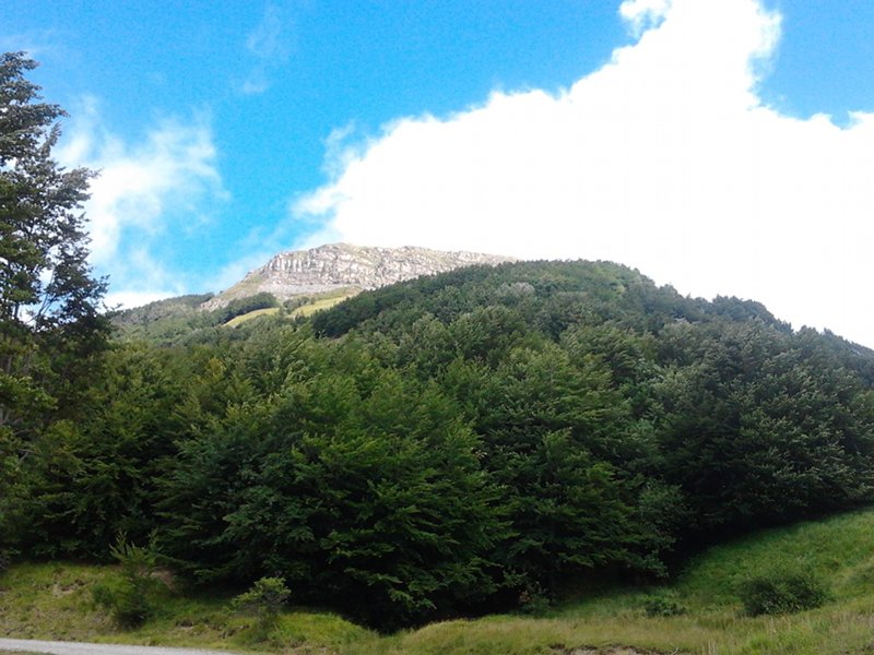
Mount Navert
(photo by Marco Rossi)
 Download KMZ
  Download the itinerary in GPX format
en